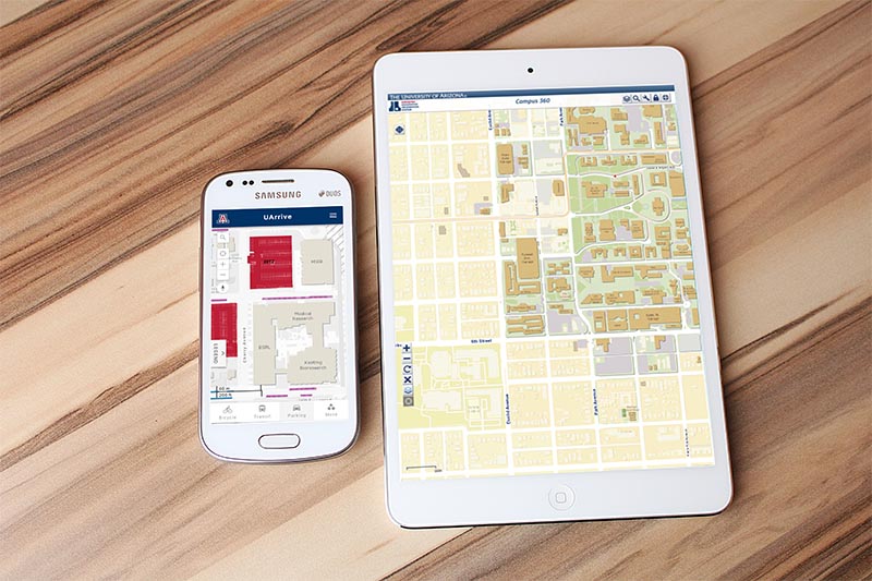


The Enterprise Geographic Information System (EGIS) is the University's system of record for up-to-date campus map information. The EGIS integrates a range of spatial data and campus information into a coherent framework and provides access to this information through web map services and applications as well as through direct access to the UA Enterprise GeoDatabase. The EGIS is a service of the department of Planning, Design, and Construction (PDC).